
Coastal Pathway · North West TasmaniaBass Strait, by bike and on foot.
A shared coastal path that follows Tasmania’s North West shoreline from Wynyard to Latrobe. Beaches, lighthouses, river mouths and good coffee, all within reach of the water.
The pathway
One coastline. A string of seaside towns. Your pace.
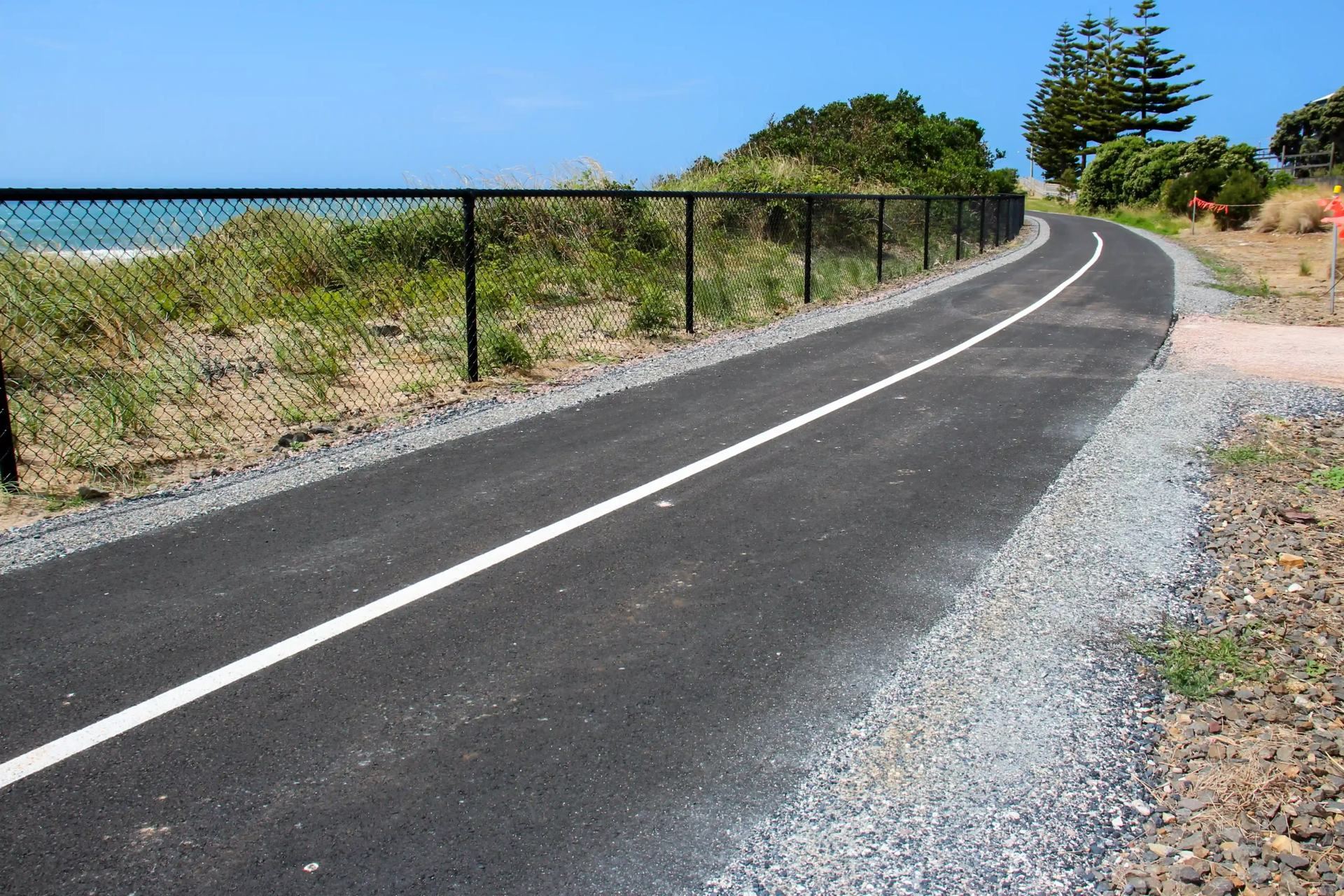
The North West Coastal Pathway links the towns of Tasmania’s North West coast with a shared path for walking, riding, scooting and rolling. Much of it runs right beside the water, on the old rail corridor and along the foreshores.
Ride a short loop for coffee, or link towns together over a weekend. Waratah-Wynyard sits at the western end, so this is where the journey begins.
West to east
Stops along the way
 01Start here
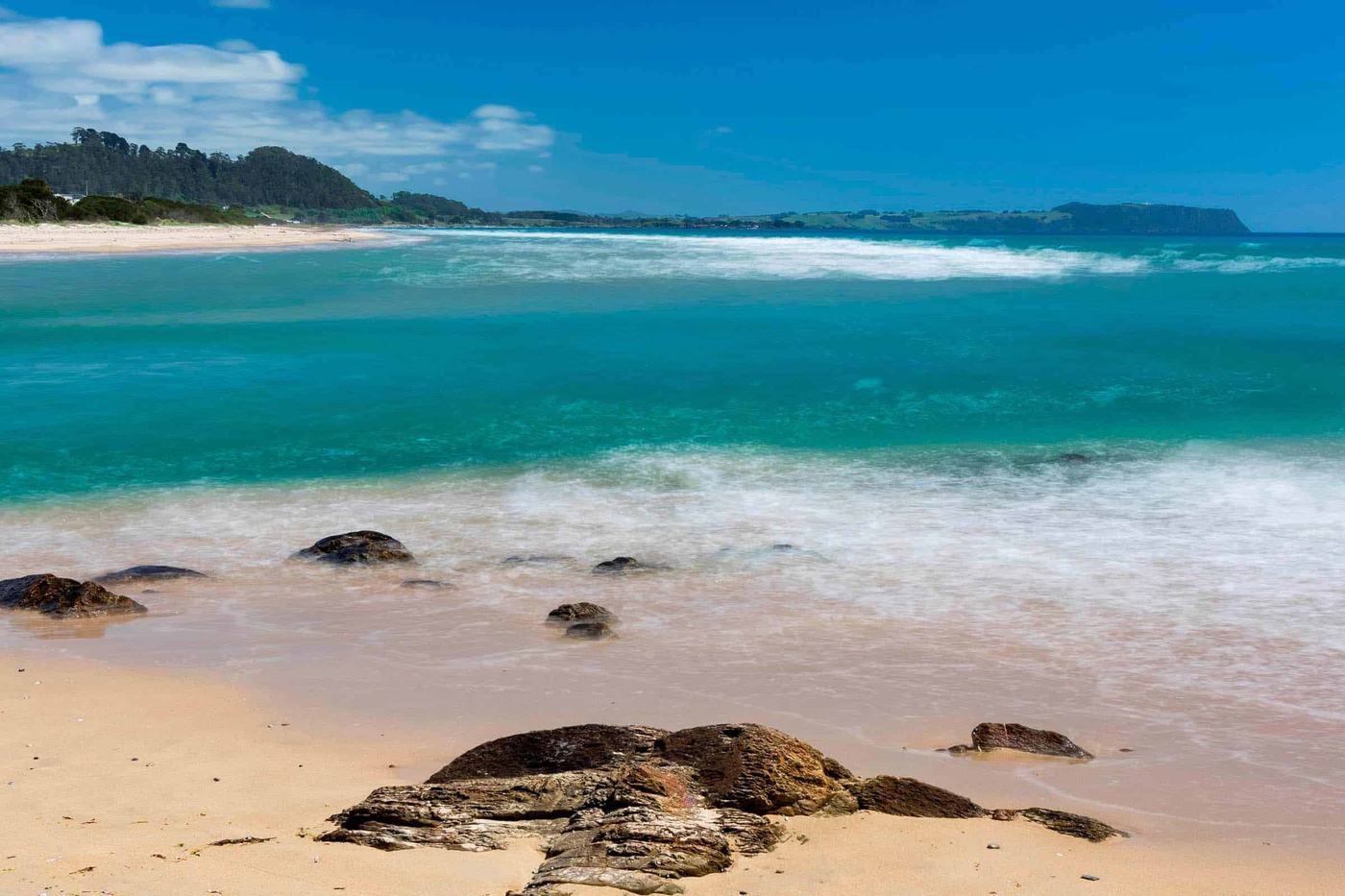
Wynyard
Table Cape, Fossil Bluff and the Inglis River.
 02
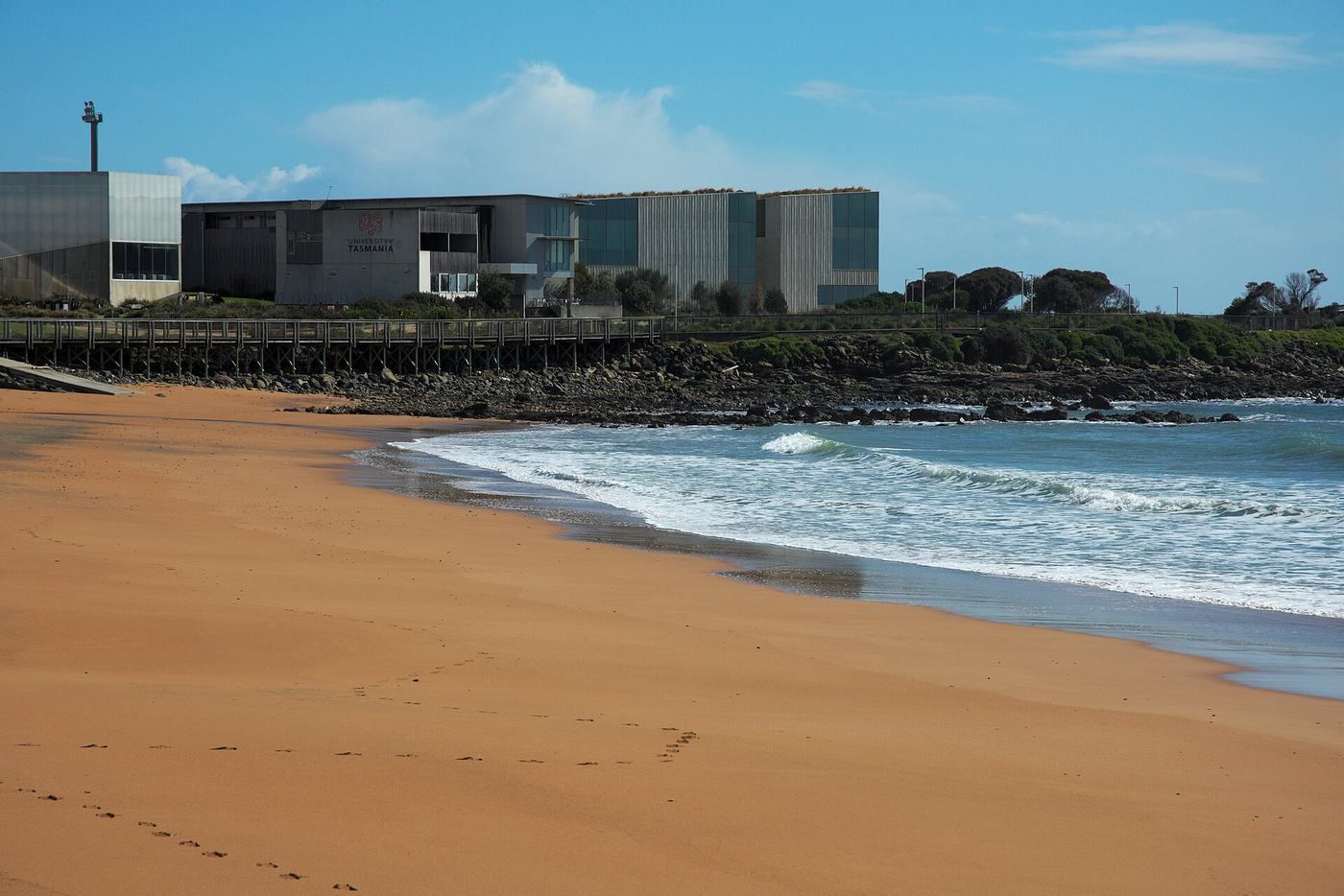
Somerset
The Cam River bridge and turquoise beaches.
 03
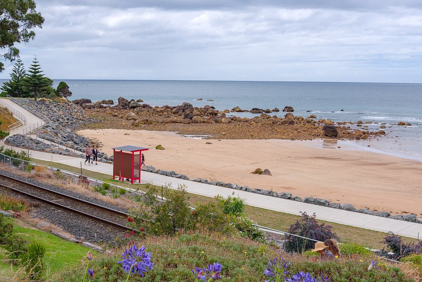
Cooee and Burnie
West Beach, the boardwalk and little penguins.
 04
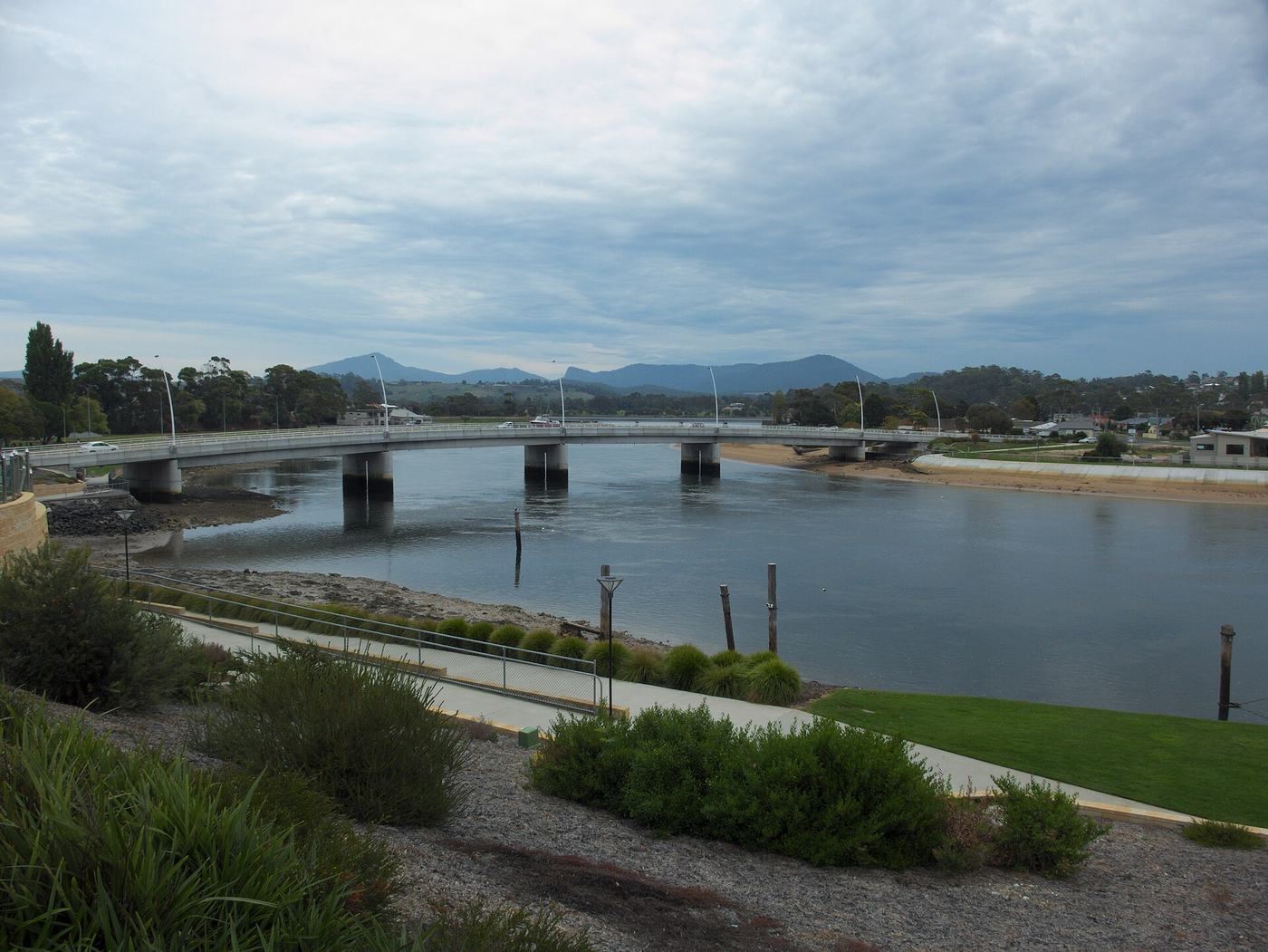
Sulphur Creek and Penguin
Seaside villages and a very big penguin.
 05
Ulverstone
Where the Leven River meets the sea.
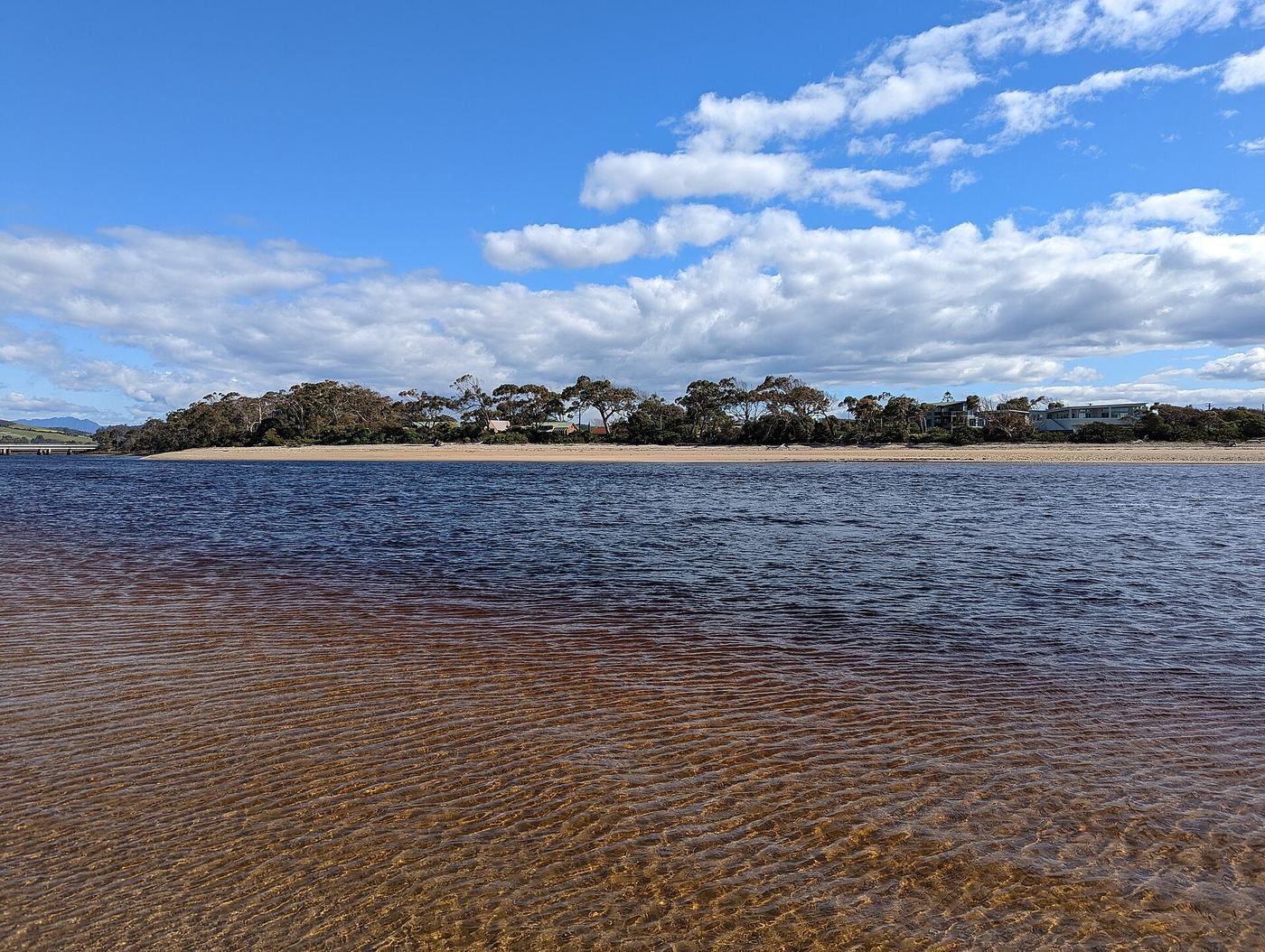 06
Turners Beach, Leith and Don
Quiet beaches and river mouths.
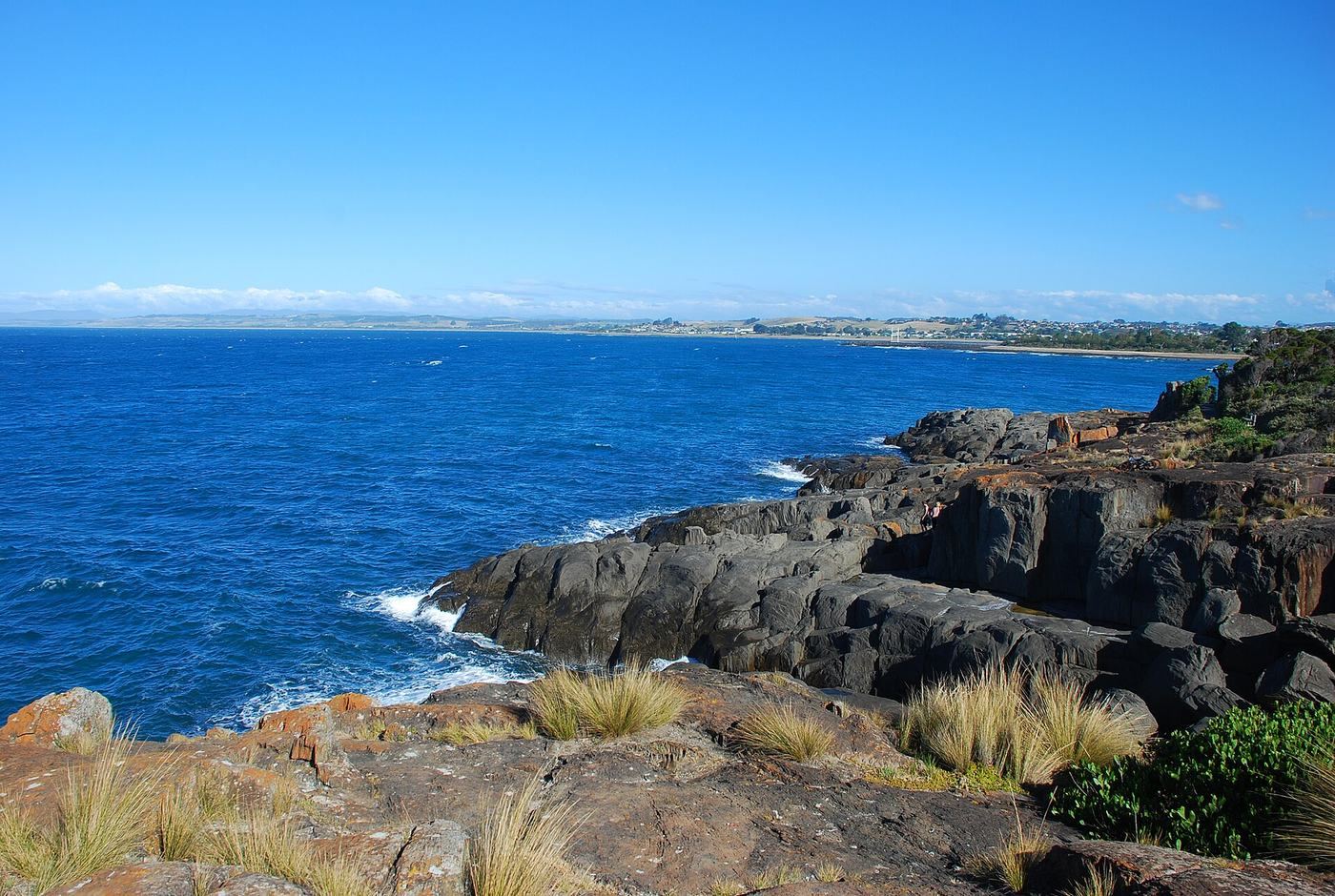 07
Devonport
Mersey Bluff, the lighthouse and the river.
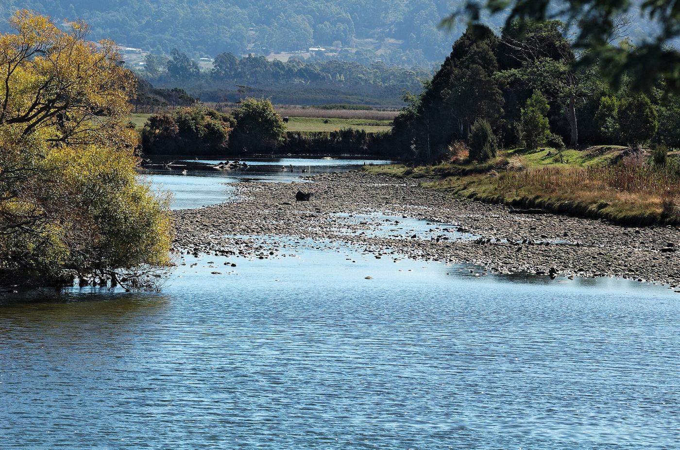 08
Latrobe
Up the Mersey to the eastern end.
Stop 01 · Waratah-Wynyard
Start where the pathway starts.
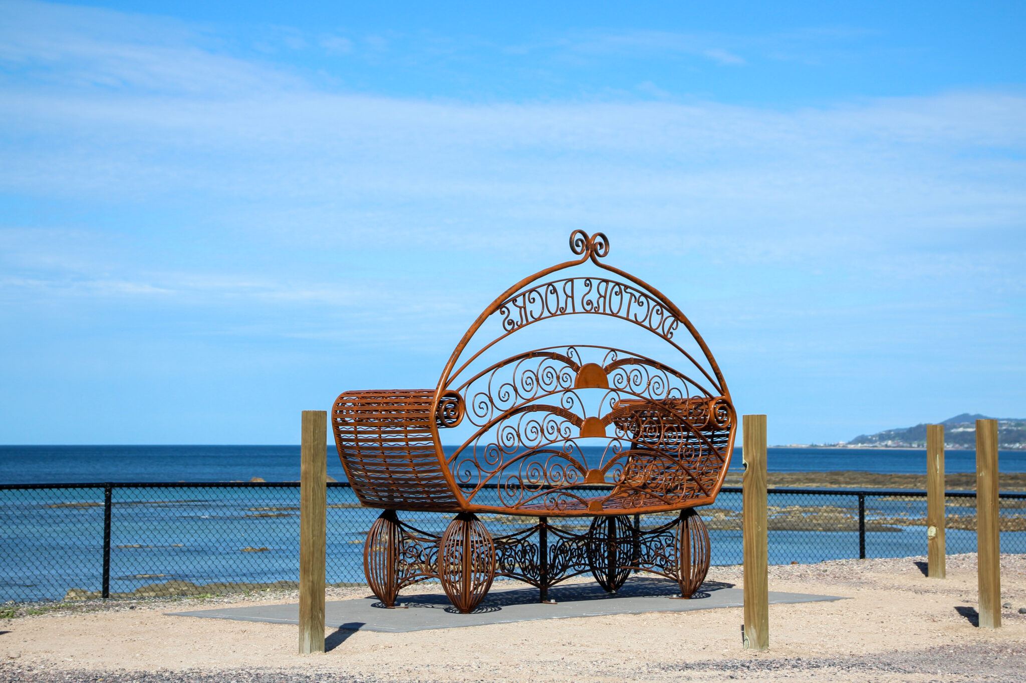
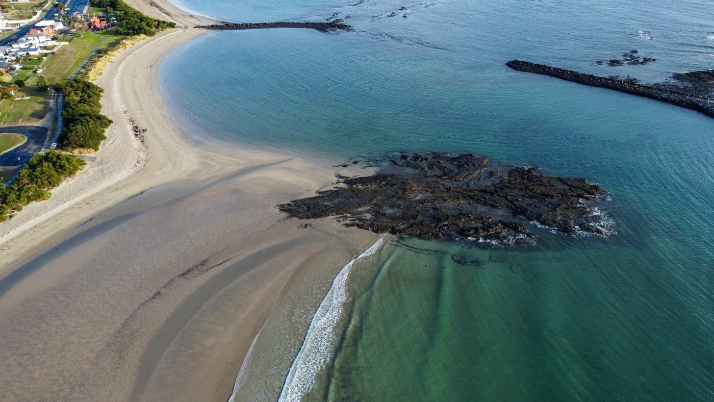
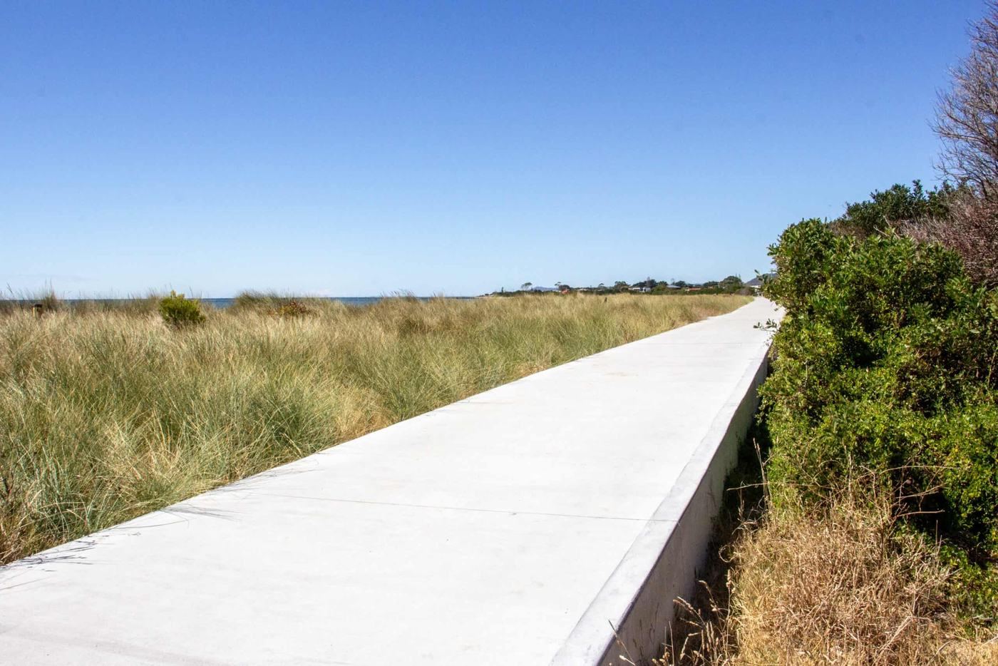
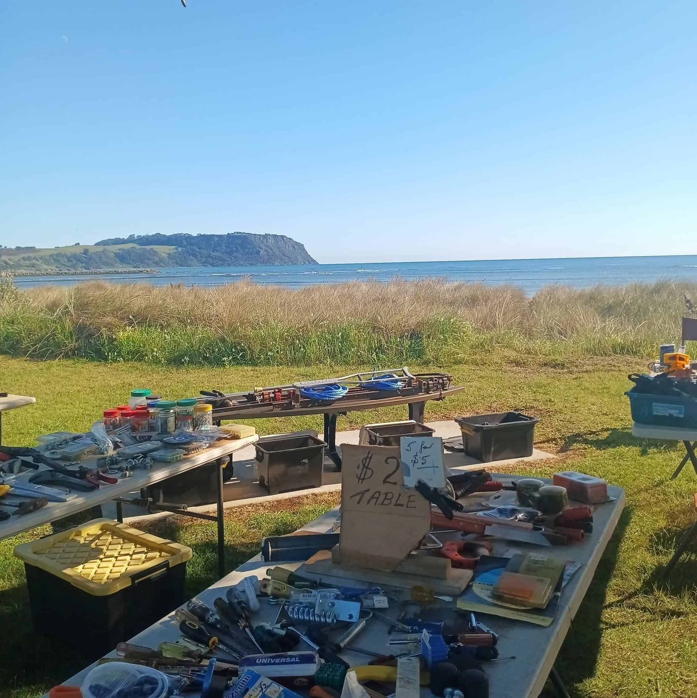
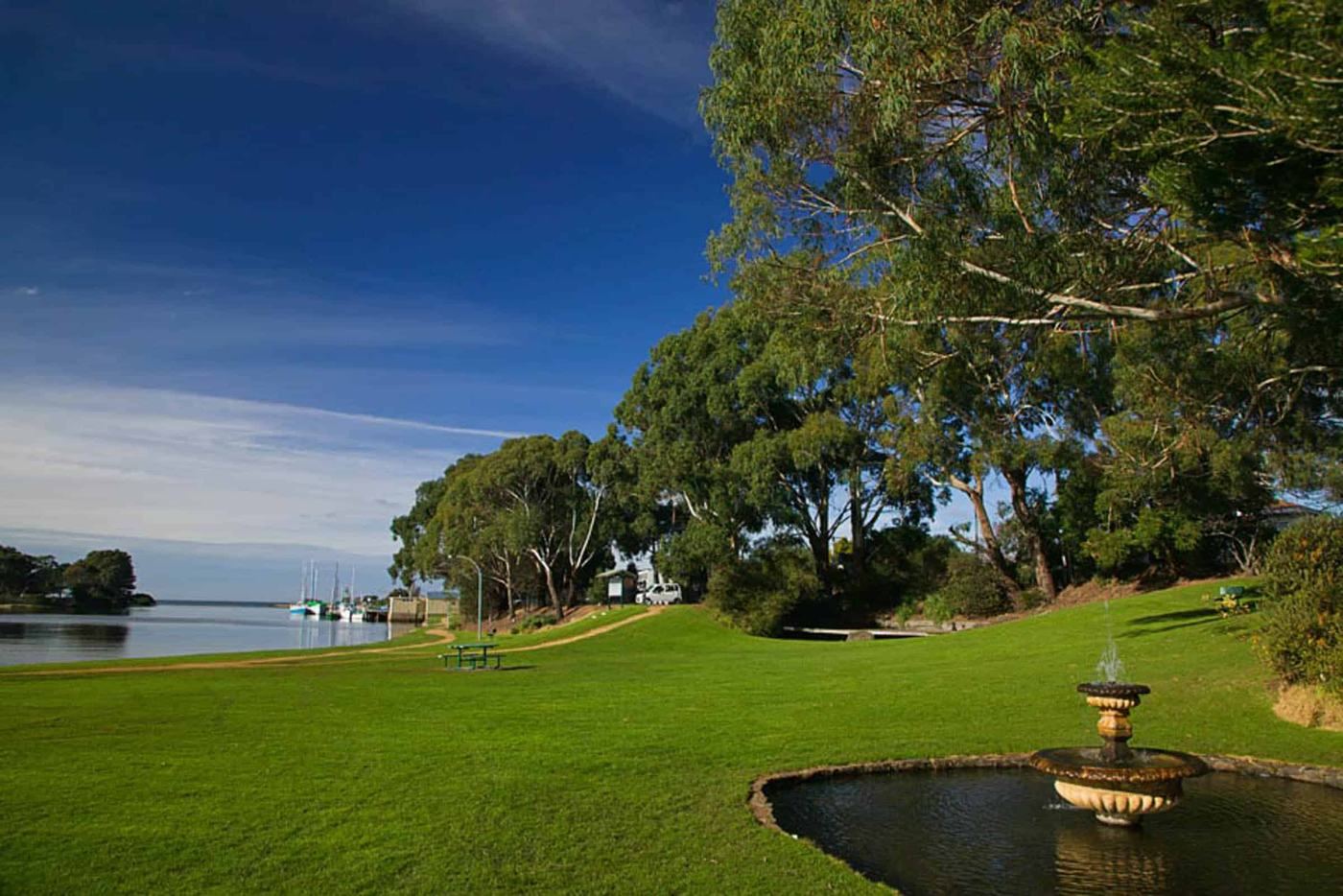
Wynyard is the western gateway to the Coastal Pathway. Roll out from the foreshore along the Inglis River, past Doctors Rocks and the Bass Strait shoreline, over the Cam River to Somerset and on to Cooee.
Then stay a little longer. Tulip fields on Table Cape, ancient fossils at Fossil Bluff and some of the clearest water in Tasmania are all a short ride or drive away.
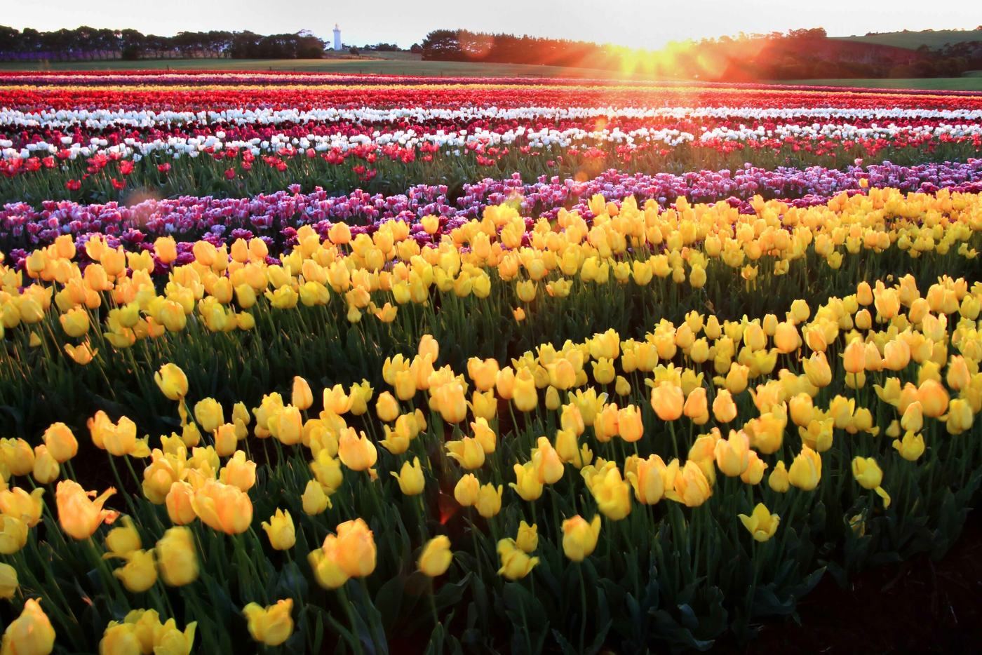

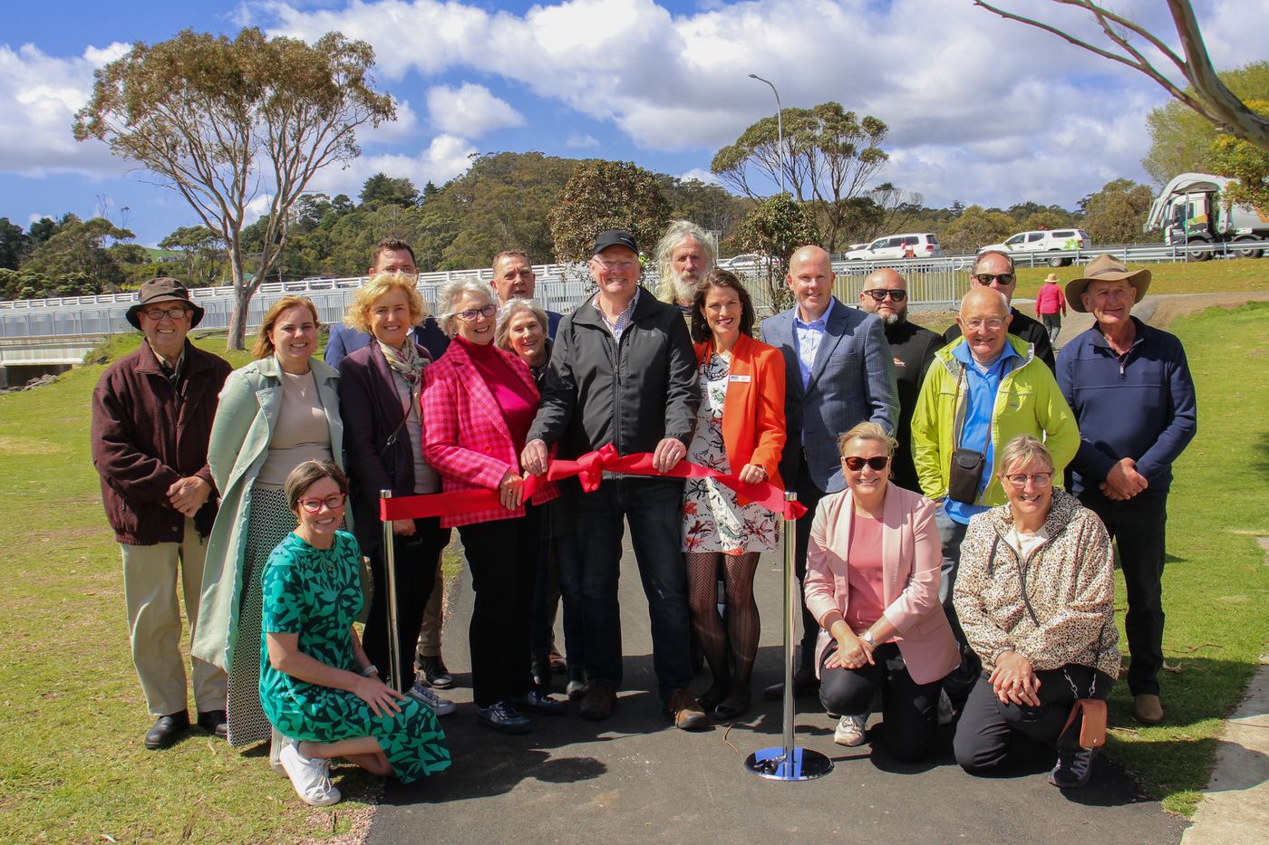
Wynyard to Cooee
The newest stretch of the coast
Built by Waratah-Wynyard Council and Burnie City Council with funding from the Tasmanian Government, this section joins Wynyard to the Burnie foreshore for the first time.
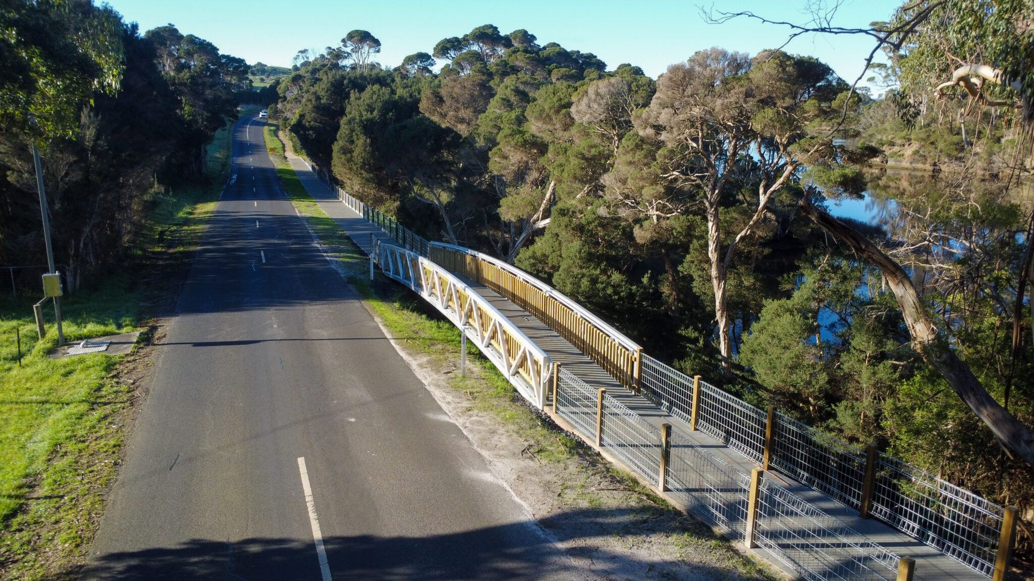
- A new pedestrian bridge over the Cam River at Somerset
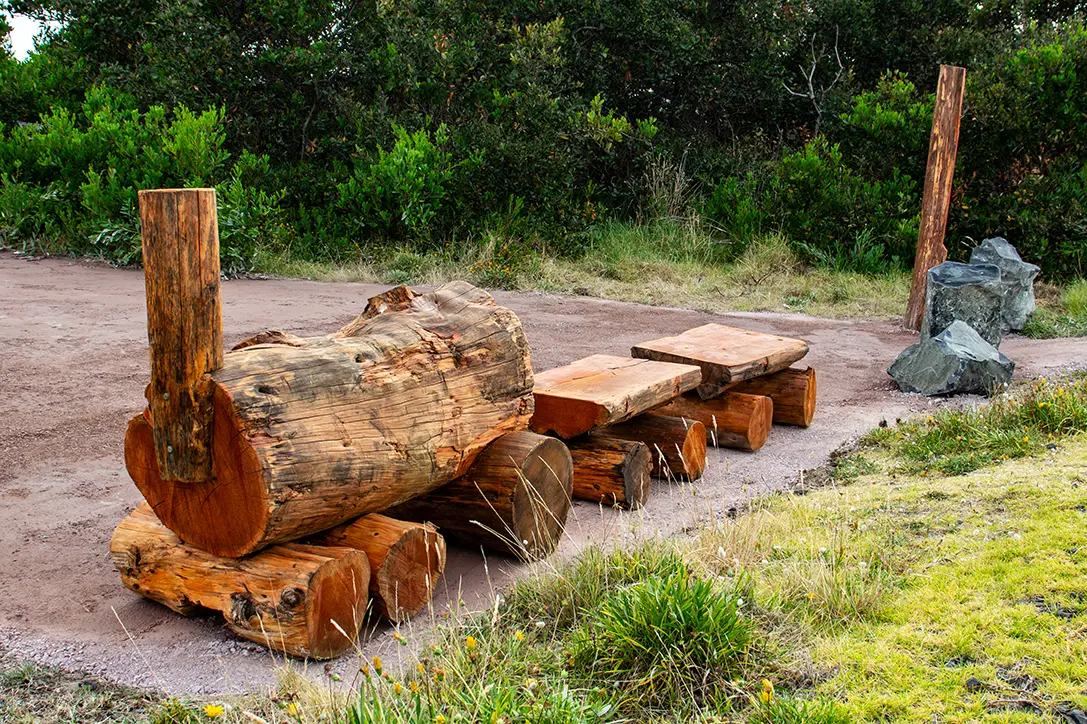
- Seven Pause Places made by the Somerset Community Shed, plus artist-made seating and interpretive signs
- Fencing to protect the little penguins that nest along this shore
- BBQs, shelters and a playground at Cam River Reserve
Make a weekend of it
Go further west
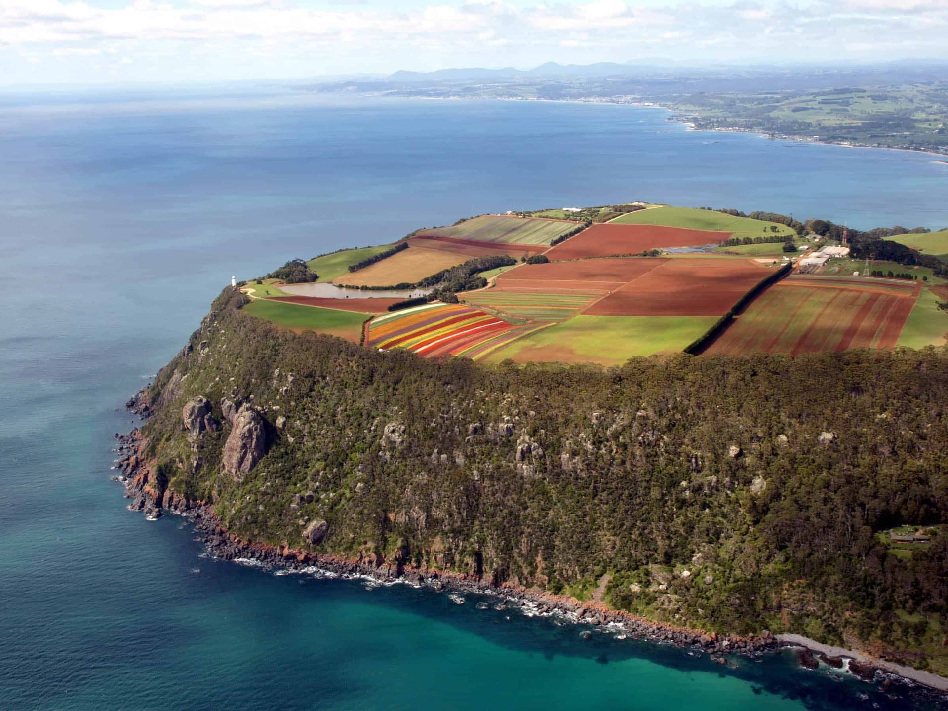
Table Cape
Volcanic headland with a working lighthouse, lookout and tulip farm.
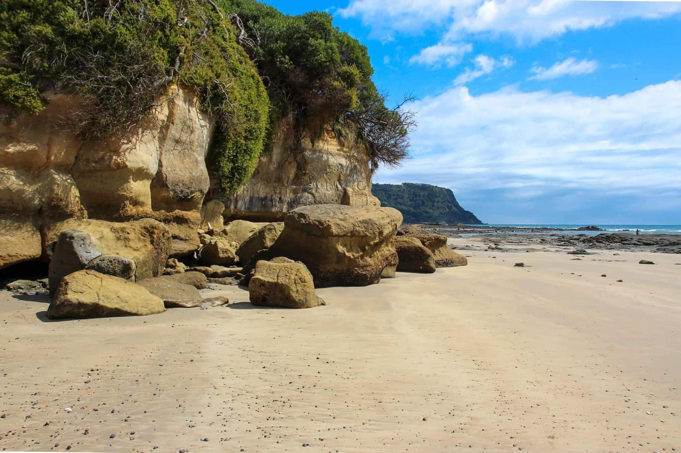
Fossil Bluff
Sandstone cliffs holding some of Tasmania’s oldest marine fossils.
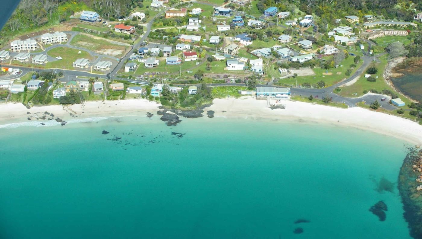
Boat Harbour Beach
White sand and calm, clear water. A summer favourite.
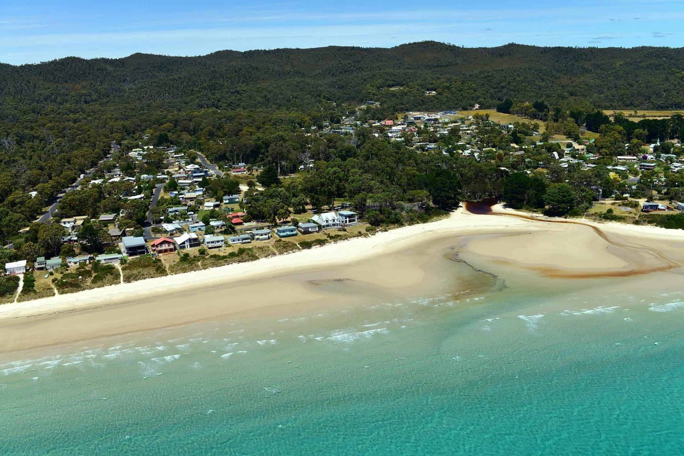
Sisters Beach
A long sweep of sand on the edge of Rocky Cape National Park.
Visitor information
Wonders of Wynyard
Maps, local tips, bookings and a friendly chat before you set off. Wonders of Wynyard is the visitor information centre for Waratah-Wynyard, right beside the pathway at the Wynyard waterfront.
- Where
- 8 Exhibition Link, Wynyard
- Open
- 7 days, 9am to 4pm
- Phone
- (03) 6443 8330
- Web
- wondersofwynyard.com
Along the way
Towns, villages and places to stop
Every town on the pathway has its own beach, river or headland, and a cafe not far from the path.
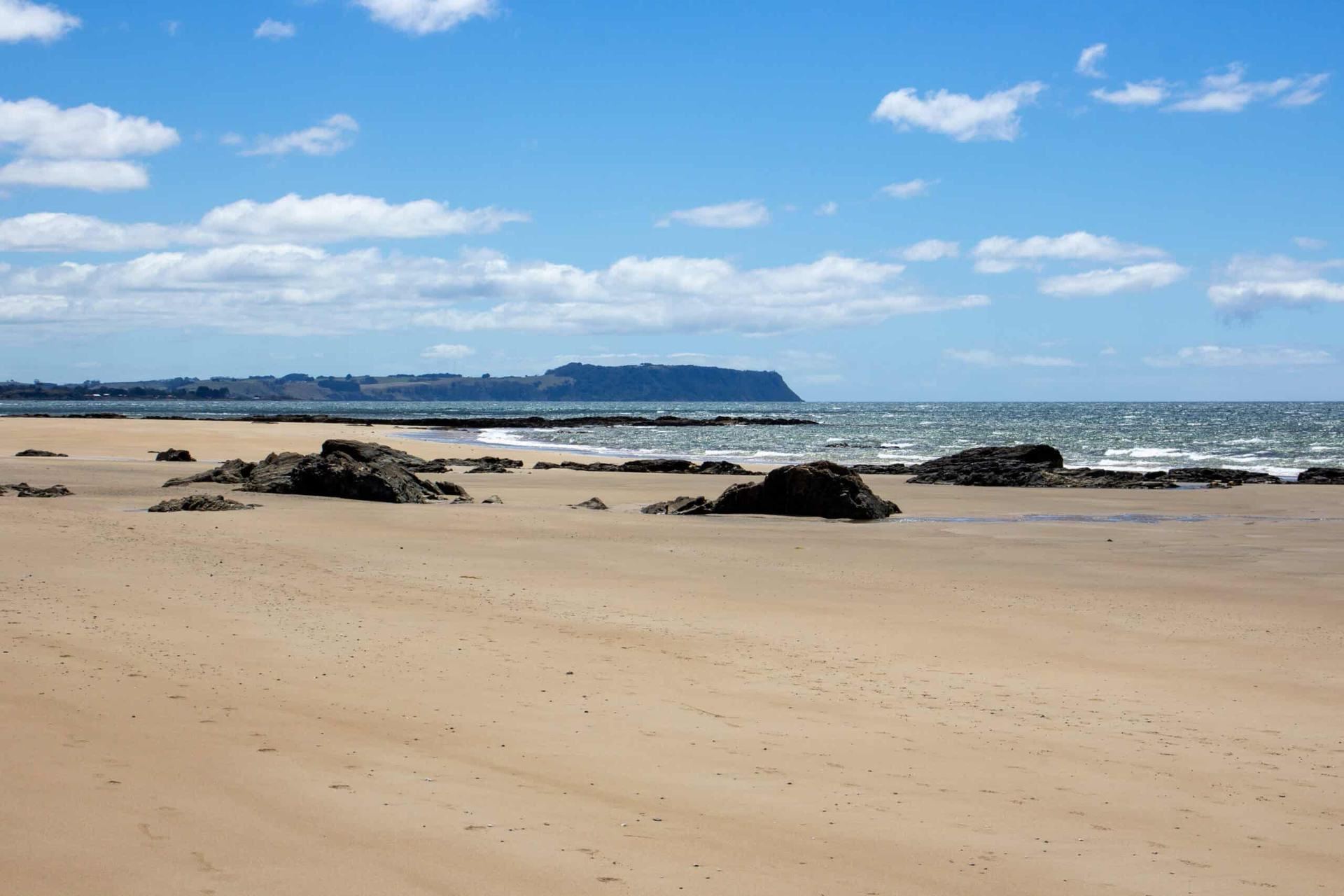
Somerset
A seaside town at the mouth of the Cam River. Cross the new pedestrian bridge, take a break at Cam River Reserve, then follow the foreshore east towards Cooee with Bass Strait at your shoulder.
- Cam River bridge
- Cam River Reserve
- Somerset beach
Gary Houston, CC0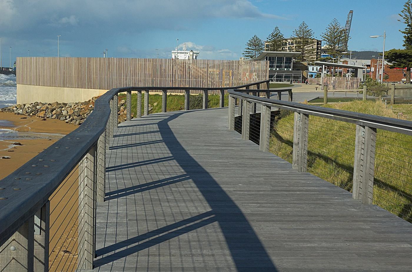
Cooee and Burnie
From Cooee the path runs into Burnie along the waterfront. West Beach and the foreshore boardwalk lead you into the heart of the city, with plenty of places to eat a block from the sand.
- West Beach
- Foreshore boardwalk
- Little Penguin Observation Centre
Ollie Pye, CC BY 4.0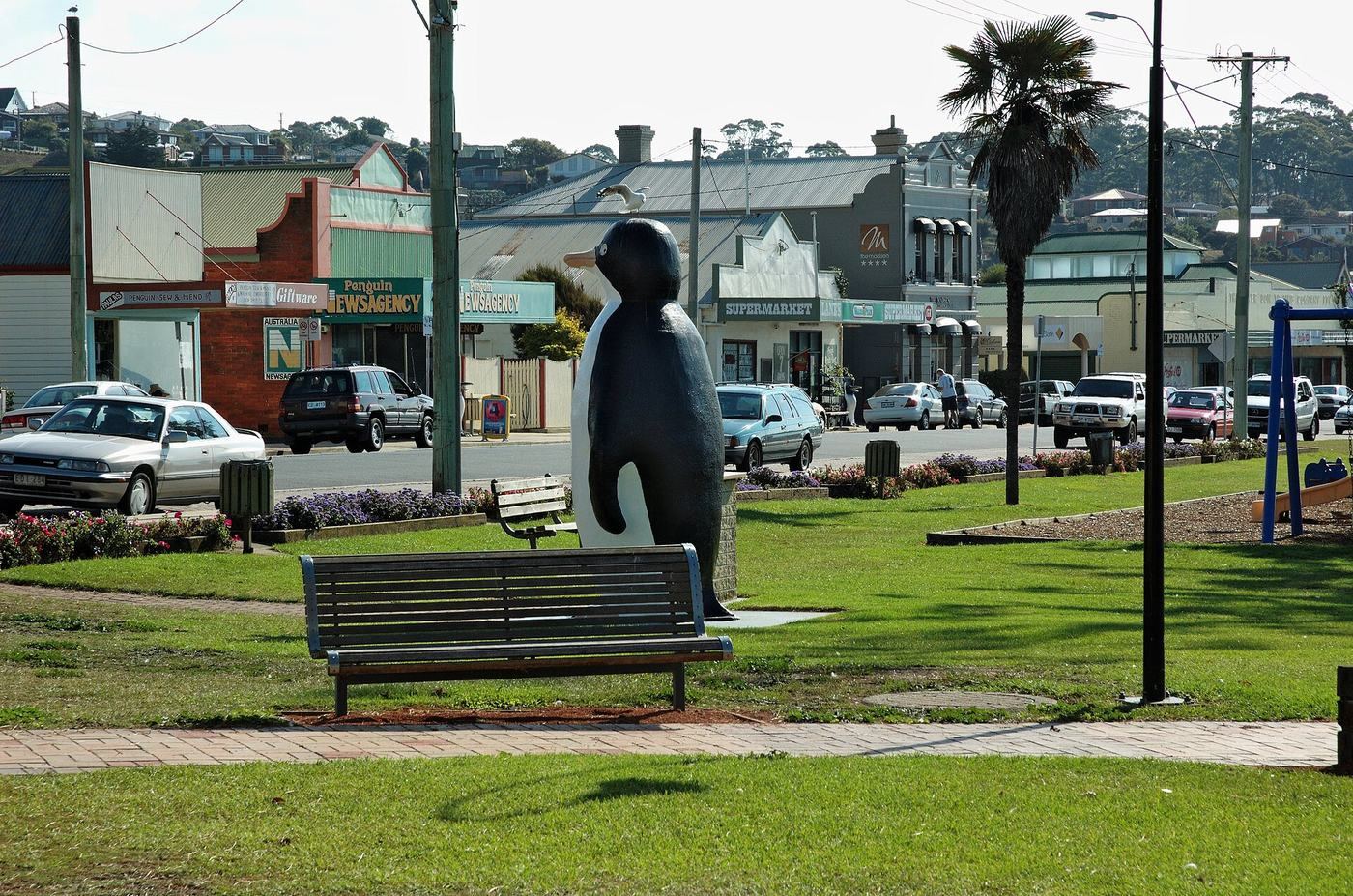
Sulphur Creek and Penguin
A beautiful seaside run between Sulphur Creek, Preservation Bay and Penguin, with the railway and the beach right beside you. Say hello to the Big Penguin, a local icon since 1975, and visit the Penguin Market on a Sunday.
- Big Penguin
- Penguin Market
- Preservation Bay
Gary Houston, CC0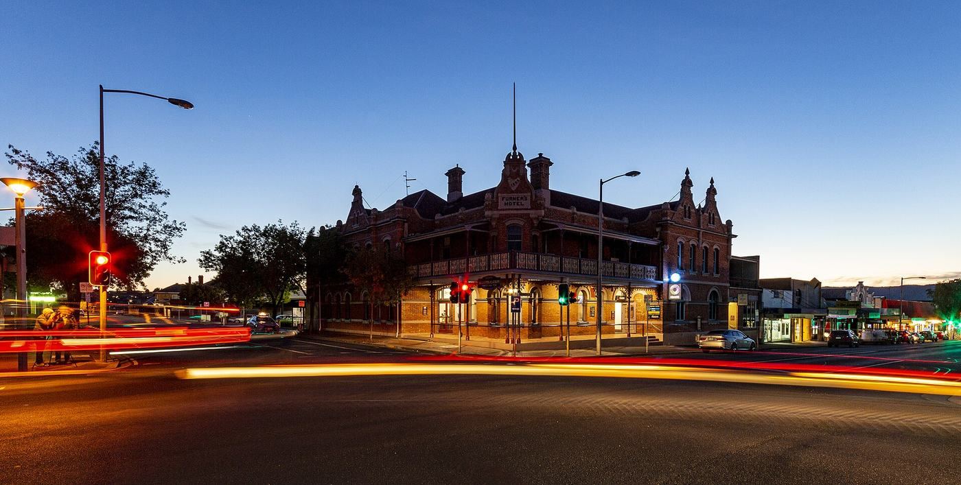
Ulverstone
A relaxed river town where the Leven River meets Bass Strait. Ride the river and beach paths, wander the main street and pick up local tips at the visitor centre in Hive.
- Leven River
- Beaches and parks
- Hive
Psypherium, CC0Turners Beach, Leith and Don
Quiet beach villages around the mouth of the Forth River. The path links Leith to Don and on towards Devonport, an easy ride with big sky and sea views.
- Forth River mouth
- Leith to Don
- Quiet beaches
Synyan, CC BY 3.0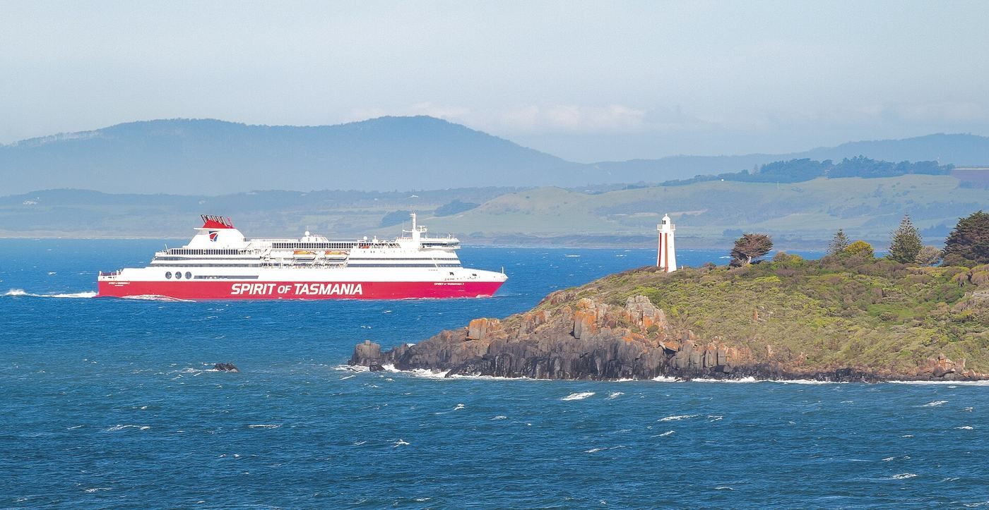
Devonport
Round Mersey Bluff and its red and white striped lighthouse, first lit in 1889, then follow the Mersey River into the city. Watch the Spirit of Tasmania come and go, and visit the Bass Strait Maritime Centre.
- Mersey Bluff Lighthouse
- Bass Strait Maritime Centre
- Mersey River
Gary Houston, CC0Latrobe
The eastern end of the pathway. From Ambleside the path follows the Mersey River inland to Latrobe, a heritage town with a busy main street and the Axeman’s Hall of Fame.
- Mersey River
- Heritage main street
- Axeman’s Hall of Fame
Share the path
Be kind, be seen, keep left
The Coastal Pathway is shared by people walking, running, riding, scooting and using mobility aids. A little courtesy keeps it safe and fun for everyone.
Keep left
Walkers and riders keep to the left of the path, and pass on the right.
Ring your bell
Give a friendly ring or call out “passing” well before you overtake.
Give way to people walking
Riders slow down and give way to pedestrians, especially children, older people and anyone using a mobility aid.
Helmets on
In Tasmania, bike riders must wear an approved, fastened helmet.
Be seen
Use front and rear lights at dawn, dusk and night, and wear something bright.
Dogs on a short lead
Keep dogs close on a short lead and pick up after them. Little penguins nest along this coast.
Mind your speed
Ride at a speed that lets you stop safely, and slow right down on bends, bridges and busy foreshores.
On-road links
Where the path isn’t built yet, the route follows roads shared with traffic, including the Bass Highway. Ride single file, obey road rules and take extra care.
Plan your trip
Good to know before you go
Mind the gaps
The pathway is still growing. There are gaps between Wivenhoe and Sulphur Creek (around Heybridge) and between Penguin and West Ulverstone, plus some short on-road links. Plan around them, or ride with care on the road.
Little penguins live here
Little penguins nest along this coast. Keep dogs on a lead, stay on the path and keep lights low near nesting areas at dusk.
Coastal weather
Bass Strait winds can change quickly. Pack a layer, sunscreen and water. The prevailing westerly often makes riding east the easier way.
Water and toilets
Public toilets and drinking water are dotted along the path. Turn them on in the map to plan your stops.
One way is fine
Ride one way and return by bus or a friendly pick-up. Visitor centres can help with transport and bike hire options.
Stay a night or two
Link several towns over a weekend. Wynyard is a great base for the western end and Table Cape.
Local knowledge